
The City of Seattle ended its COVID-19 Civil Emergency Proclamation after October 31, 2022. For COVID-19 resources and information visit www.seattle.gov/covid-19.
?v=638428645570000000)
June 2023
Setting the stamps created by artists Derek Bruno and Gage Hamilton on new curbed bike lane buffers. This artwork is part of a concept that will unify Pike and Pine streets, creating a legible path from Capitol Hill through the downtown retail core to Pike Place Market, a gateway to the waterfront.
?v=638428633780000000)
September 2023
The stretch of sidewalk and protected bike lane in this area was completed, between S Main and S Washington streets. A missing segment was, until August 2023, a driveway access for vehicles accessing Colman Dock from the temporary remote holding area completed in the fall.
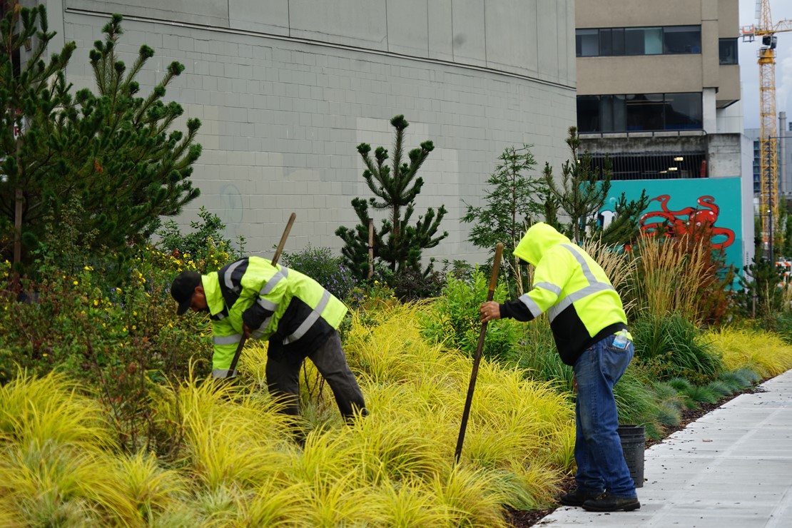
September 2023
With all the new plants along Elliott Way, we’ve been working to maintain them, so they thrive in the urban environment. We are happy to see the plants thriving in 2023.
?v=638428633800000000)
November 2023
Progress on the stairs on the north side of Overlook Walk in November 2023.
?v=638428641280000000)
November 2023
Between pile caps we welded connections at Pier 58. Each pile cap typically spans over three piles.
?v=638428645580000000)
November 2023
The Marion Street Pedestrian Bridge opened in November 2023. Pedestrians now have direct access between Colman Dock and 1st Ave.
Construction schedule*
*Waterfront Seattle construction was delayed into 2025 due to COVID-19 impacts and a lack of concrete delivery availability between December 2021 and April 2022 as a result of a concrete strike in King County. We have assessed the overall program delay impacts to implement mitigation strategies. The schedule below is in the process of being updated to reflect our current construction timeline, updates will be live on this page soon.
![]() indicates partner project
indicates partner project
Getting around
Metro Trip Planner
Plan your transit route to and from the waterfront.
Seattle Traffic
How you get around is changing – learn more about navigating during the Seattle Squeeze.

SDOT Bike Web Map
This map is intended to aid people biking in the City of Seattle by showing the locations of our various bicycle facilities and related amenities. You can also view our current bike access map, which shows how we are maintaining bike access along the waterfront during our construction, while we continue to build new bike facilities.
Downtown Seattle Parking
Find rates, hours and directions to thousands of parking spaces in Seattle's Pioneer Square and central waterfront neighborhoods.
Downtown Seattle Accessibility
View maps and other resources to plan accessible trips through downtown Seattle's hills, including locations of elevators and bus routes.